
NEXUS AI / CONFLATION
Displaced geometry, corrected by your own team.
Conflation corrects network and landbase geometry that sits in the wrong place, using patterns your own team builds. It is installed in your environment and connected to the GIS, so the work does not leave as a correction project and come back as a bill — and the next displacement is not the next procurement.
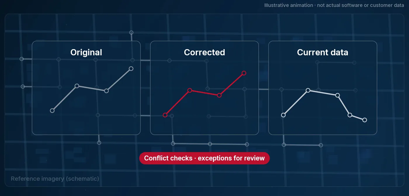
An area is flagged as sitting in the wrong place, a correction is offered, and a reviewer adjusts and approves it. The shift that was applied is kept as a pattern, so the suggestion that arrives for the next area starts from what your team has already agreed to. Nothing reaches the production version until someone approves it, and the checks confirm that identity and attributes came through untouched.
Displaced network data is corrosive in a specific way. Consumers cannot be connected automatically from field coordinates, the base cannot be cross-referenced against imagery or third-party data, and regulatory submissions come back rejected. The conventional fix is a correction service: a vendor arrives, repositions the data, and leaves. The capability leaves with them.
-
Select an area
A user selects an area and asks for it to be subdivided. The tool flags which parts look like they need correction.
-
Line it up against imagery
The selected objects are overlaid on reference imagery and moved and rotated until they sit correctly.
-
Save the movement as a pattern
The tool computes the distance and direction of the shift that was applied and saves it. That pattern is what makes the work scale.
-
Reapply instead of repeating
In the next area the user applies a pattern that already exists, and creates a new one only where none fits.
-
Publish on approval
Results are written to a GIS version, leaving the production version untouched until someone approves them. Conflicts are resolved against your own standards and technical manuals, and anything unresolved is logged as an exception rather than guessed at.
A regulatory submission keeps coming back
Known positional error in the network model, corrected area by area by the team that owns the data, rather than by a vendor who takes the method home with them.
Consumers will not connect automatically
Field coordinates do not line up with the model, so automatic connection fails and someone connects them by hand.
A base arrives from a third party
The same tool and the same patterns apply to it. No new correction project, no new procurement.
Each connection is made by API or by a direct database connection, and is defined once rather than per project.
- The GIS, through Gateway
- Direction: Read, and write to a version — the production version is untouched until approval
- Reference imagery
- Direction: Read
| System | Direction |
|---|---|
| The GIS, through Gateway | Read, and write to a version — the production version is untouched until approval |
| Reference imagery | Read |
Where it stops
- Geometry only. Asset code, length and patrimonial identification are preserved, and attribute tables are not touched.
- No new cartographic base is acquired and no photogrammetric restitution is performed.
- Publication requires human approval, by design — including once the platform is applying patterns unattended.
Who can see what
People sign in with the corporate directory account they already have, and what they are allowed to see is enforced in four places: at the platform, inside each pod, on the map, and in the answers that come back to them.
Where it stands
The operating modes open in sequence rather than being chosen from a menu: manual from the start, which is also what trains the platform; assisted once enough corrections have been recorded, with the user approving or rejecting each suggestion; then unattended application of patterns, with publication still going through a person. MagikDev installs it, builds the first patterns alongside your team and works beside them at the start; from there your people run it.
Technical walkthrough · 8 min
See it in action — watch the 8-minute Nexus AI Platform walkthrough.
Recorded directly in the platform, with English narration and no slide deck. GIS, ERP, ADMS, and maintenance answering together, without replacing the systems you already run. The link arrives after you register.
Need to brief your leadership? The one-page brief
A technical session covers your estate, where the platform would run, and which pods come first.
Book a technical session